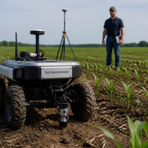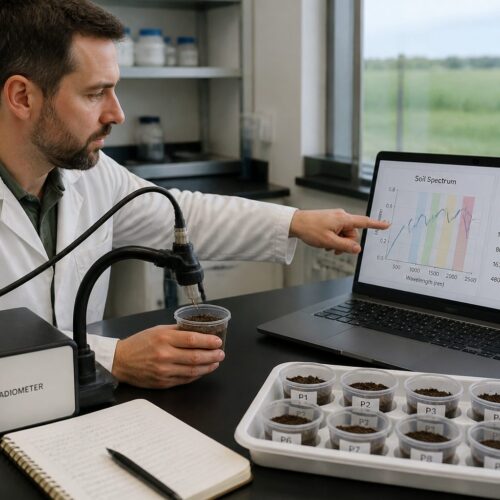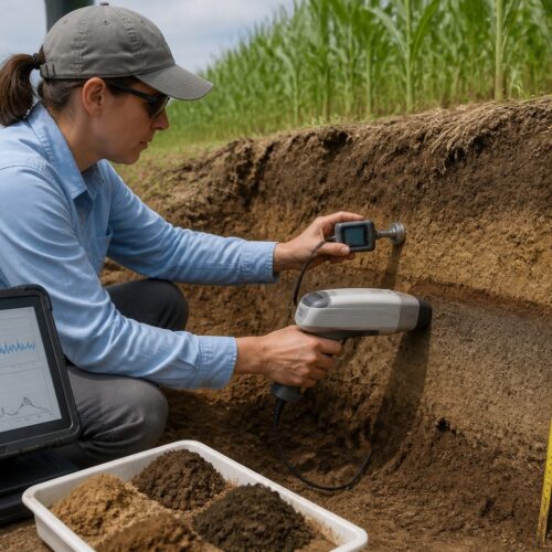

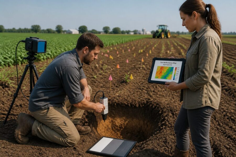
Precision agriculture requires detailed soil variability information, constantly seeking better mapping technologies. Traditional soil sampling is accurate but slow and costly, often missing critical fine-scale variations. Hyperspectral imaging soil mapping field scale technology offers a revolutionary solution to understanding fields.
Imagine a comprehensive picture of your soil’s health, nutrients, and texture for every square meter. Hyperspectral imaging delivers this reality, moving beyond sparse samples to continuous, high-resolution data. This advanced approach enables smarter decisions on fertilizer, irrigation, and crop management, boosting efficiency and yields.
The core idea involves capturing light reflected from the soil surface across hundreds of narrow spectral bands. Each band reveals unique chemical and physical properties, far beyond human vision. This detailed spectral fingerprint allows precise identification and quantification of various soil attributes across an entire field.
Understanding these subtle spectral differences unlocks high-resolution soil spectroscopy for agriculture. This means mapping soil organic carbon, moisture, clay minerals, and pH levels with unprecedented detail. Such insight empowers modern farming to optimize every inch of land.
How Hyperspectral Cameras Differ From Standard Multispectral Sensors
Hyperspectral cameras are often confused with multispectral sensors, but their capabilities differ significantly. Multispectral sensors capture images in a few broad spectral bands (typically 4-8, e.g., red, green, blue, near-infrared), providing a general overview but lacking specific detail.
A hyperspectral soil camera, however, collects data across hundreds of very narrow, contiguous spectral bands. Instead of one red band, you might have 50, each only a few nanometers wide, enabling nuanced analysis of Earth’s surface materials.
Think of it as comparing primary colors to a full artist’s palette. Multispectral provides the big picture; hyperspectral offers intricate brushstrokes. This difference is fundamental for detailed material identification, especially for complex substances like soil.
The vast spectral information from a hyperspectral sensor detects subtle absorption and reflection features unique to specific soil components, often missed by broader multispectral bands. This yields more accurate soil property predictions.
For instance, a multispectral sensor might indicate “healthy” vegetation by its greenness. A hyperspectral sensor could reveal if that health stems from adequate nitrogen or a specific nutrient deficiency in the plant’s spectral signature. Such detail is astounding.
Higher spectral resolution makes hyperspectral data more robust for quantitative analysis, enabling precise models to estimate soil organic carbon or clay content. This precision is essential for effective hyperspectral imaging soil mapping.
While multispectral data is easier and faster to process due to smaller data volume, it lacks the depth of information. Hyperspectral data requires sophisticated processing, but detailed soil insights make the effort worthwhile.
Commercial satellites like Sentinel-2 offer multispectral imagery, useful for regional trends. However, for precision agriculture’s field-scale variability and management zones, a hyperspectral soil camera provides the necessary granularity. This enables targeted interventions by farmers.
Distinguishing between mineral types or subtle changes in soil organic matter is a game-changer, nearly impossible with broad-band sensors. Hyperspectral technology reveals the soil’s true chemical composition, not just its appearance.
Choosing between multispectral and hyperspectral depends on the application and desired detail. For high-resolution field-scale soil mapping, hyperspectral technology offers an undeniable advantage, unlocking a new era of soil intelligence.
Airborne and Drone-Mounted Systems: Resolution and Coverage Trade-offs
Deploying hyperspectral soil cameras requires choosing between airborne systems and drone-mounted platforms. Each offers distinct advantages and limitations in spatial resolution and area coverage. Understanding these trade-offs helps farmers select the right tool.
Airborne platforms (fixed-wing aircraft) cover vast areas quickly, ideal for large farms or regional surveys. Operating at higher altitudes, they yield coarser spatial resolution, meaning each map pixel represents a larger ground area.
Drone-mounted systems fly lower, capturing images with incredibly fine spatial resolution (down to centimeters), revealing minute variations. However, drones cover significantly smaller areas per flight, requiring more time for larger fields.
The choice balances broad coverage against ultra-fine detail for airborne soil mapping. For field-scale precision agriculture, drones often strike a sweet spot, trading slower coverage for exceptional detail that translates to precise management zones.
| Feature | Airborne (Fixed-Wing) | Drone-Mounted (UAV) | Satellite (Hyperspectral) |
|---|---|---|---|
| Coverage Area | Very Large (thousands of acres) | Small to Medium (tens to hundreds of acres) | Global (large regions) |
| Spatial Resolution | Medium (0.5m – 5m per pixel) | Very High (1cm – 30cm per pixel) | Coarse to Medium (10m – 30m per pixel) |
| Deployment Speed | Fast | Moderate to Slow | Instant (pre-scheduled passes) |
| Cost per Acre | Moderate | Higher (initial investment) | Lower (subscription/data purchase) |
| Flexibility/On-Demand | Low | High | Low (fixed orbits) |
Spectral Bands Most Useful for Soil Property Prediction
Not all spectral bands are equally useful for predicting soil properties; some electromagnetic regions offer stronger signals. Understanding these correlations is fundamental to effective high-resolution soil spectroscopy and developing robust predictive models.
The visible and near-infrared (VNIR) range (400-1000 nm) provides crucial information on soil color and organic matter. Darker, organic-carbon-rich soils absorb more light; lighter soils reflect more. This range also differentiates soil pigments and mineral types.
The red edge region (680-750 nm) is highly sensitive to vegetation health and offers subtle insights into soil organic matter when sparse. Iron oxide changes, affecting soil color, also show distinct visible absorption features, making VNIR a primary focus.
The short-wave infrared (SWIR) range (1000-2500 nm) reveals strong absorption features related to water and clay minerals. Water molecules absorb light at specific wavelengths, making SWIR essential for accurate soil moisture estimation—a crucial irrigation parameter.
Clay minerals (kaolinite, smectite, illite) have unique SWIR spectral fingerprints due to hydroxyl bonds and water content. Identifying and quantifying these clays predicts soil texture, water holding capacity, and nutrient retention—a hallmark of hyperspectral imaging soil mapping field scale.
Carbonates like calcite show characteristic SWIR absorption features, enabling mapping of soil pH and lime requirements in calcareous soils. This helps farmers understand their fields’ chemical environment, critical for nutrient management.
Beyond VNIR and SWIR, MIR and TIR regions are explored for soil temperature and precise mineralogy. However, these require specialized sensors and are less common for routine agriculture. VNIR and SWIR remain the workhorses for most soil spectroscopy.
A hyperspectral soil camera’s ability to capture hundreds of contiguous VNIR and SWIR bands unlocks granular insight. Instead of broad approximations, specific indicators for each property make predictions more reliable and actionable for farmers.
Fine spectral resolution allows distinguishing organic matter types, like fresh residue versus stable humus. Each form has a slightly different spectral signature, vital for understanding carbon sequestration potential and soil health dynamics.
Leveraging these specific spectral bands creates highly accurate, spatially explicit soil property maps—the foundation of precision agriculture. This enables farmers to optimize inputs and maximize yields based on real-time, detailed soil information. High-resolution soil spectroscopy sees beyond the obvious.
Processing Hyperspectral Data: From Raw Cubes to Soil Maps
Transforming raw hyperspectral data into actionable soil maps involves a complex, multi-step processing pipeline. This journey, from raw “data cube” to user-friendly map, requires specialized software and expertise.
First, radiometric correction converts raw digital numbers into meaningful radiance or reflectance units. This accounts for sensor calibration, atmospheric effects, and illumination variations, ensuring reliable image comparisons.
Next, geometric correction aligns image data with real-world coordinates, removing distortions. This ensures each map pixel accurately corresponds to its ground location. Precise geolocation is crucial for accurate hyperspectral imaging soil mapping products.
After initial corrections, the data cube is pre-processed to reduce noise and enhance spectral features. Techniques like spectral smoothing or continuum removal isolate subtle absorption bands, preparing data for analysis.
Soil property prediction applies advanced machine learning (e.g., PLSR, SVM, Random Forest) to corrected spectral data, learning relationships between spectral signatures and known soil properties from ground truth samples.
Robust predictive models require significant high-quality ground truth data: physical soil samples collected, lab-analyzed, and precisely geolocated. This pairing of lab and spectral data is fundamental for training algorithms.
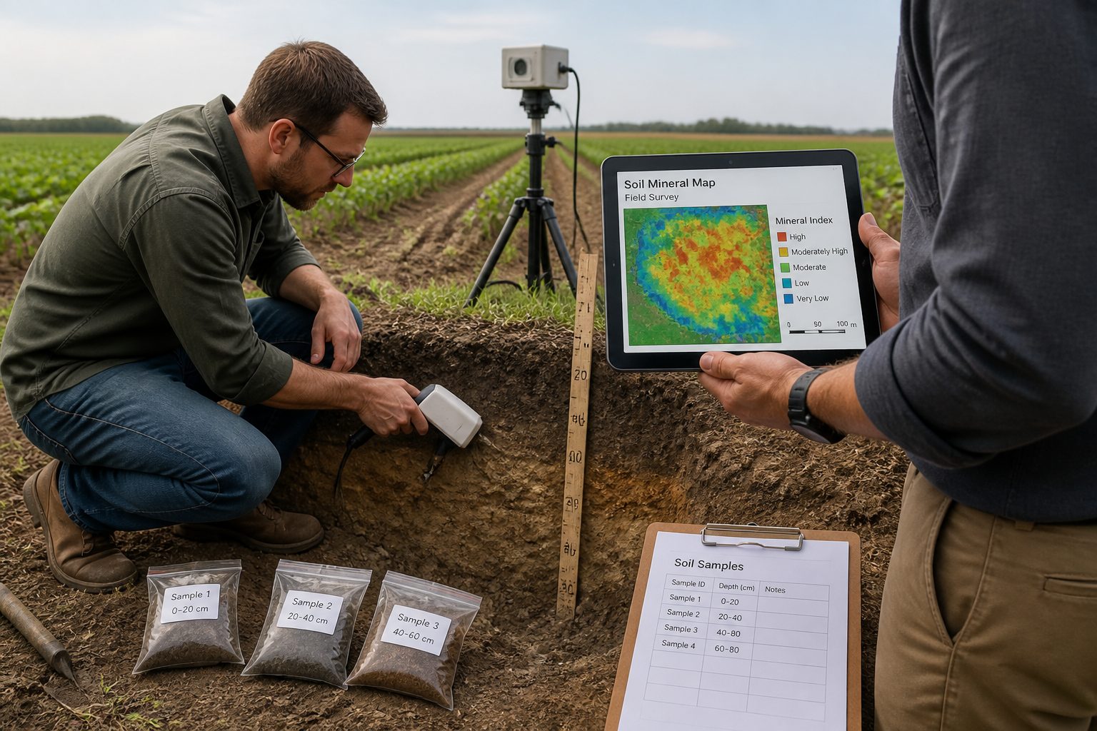
Once trained, models are applied to the hyperspectral image, predicting soil properties for every pixel. This creates a continuous raster map where each pixel value represents an estimated soil property (e.g., organic carbon, pH), highlighting spatial variability.
Validation is a critical final step: a portion of ground truth data tests model accuracy, ensuring reliable predictions and maps that truly reflect soil conditions. Trust in the data is paramount for farmers’ decisions.
Finally, predicted soil property maps convert to farm management system-compatible formats (e.g., shapefiles, GeoTIFFs). These maps create variable-rate application prescriptions for fertilizers, seeds, or irrigation, closing the loop from data acquisition to actionable insights.
The entire process, from raw data to a usable soil map, demonstrates the power and complexity of hyperspectral imaging soil mapping field scale applications. Though demanding, detailed insights offer an unparalleled advantage for modern precision agriculture, unlocking spectral data’s true potential.
Current Costs and Accessibility for Mid-Scale Farm Operations
Historically, hyperspectral imaging soil mapping costs have been a significant barrier. While prices decrease, the technology remains a substantial investment for mid-scale farms, encompassing hardware and data processing.
A high-quality hyperspectral soil camera can cost tens to over a hundred thousand dollars, depending on specifications. This initial hardware cost is often the largest hurdle, compounded by the need for a drone platform.
Beyond hardware, data processing and analysis costs are significant. Interpreting hyperspectral data requires specialized software and skilled personnel, often outsourced. Many farms opt for service providers managing the entire workflow, from acquisition to map delivery.
For mid-scale farms, third-party service providers are often the most accessible route. They offer airborne soil mapping on a per-acre or per-project basis, reducing upfront capital expenditure and making the technology more attainable.
Service costs vary (a few to twenty dollars per acre) depending on resolution and analysis. While higher than traditional soil sampling, data density and detail are incomparably better—a trade-off farmers must consider.
Hyperspectral mapping’s ROI stems from optimized input use, higher yields, and reduced environmental impact. By precisely targeting fertilizer, water, and seed, farmers save money and improve sustainability. Quantifying this ROI is crucial for justifying the investment.
Accessibility improves with user-friendly software and cloud-based processing platforms, democratizing the technology. This makes it easier for agronomists and farm managers to work with hyperspectral data, and the learning curve is becoming less steep.
Some companies explore subscription models for data access, where farmers pay a recurring fee for updated soil maps without owning equipment. This spreads costs and ensures access to the latest data and analysis, potentially a game-changer.
Government grants or agricultural subsidies for precision farming could increase hyperspectral mapping accessibility. These programs encourage sustainable practices and technological adoption; farmers should investigate regional support.
Despite current costs, hyperspectral imaging technology trends towards greater affordability and accessibility. As benefits are recognized and technology matures, it will become a common tool for mid-scale farms. The potential of high-resolution soil spectroscopy is too great to ignore.
What Hyperspectral Mapping Cannot Yet Replace in the Lab
While hyperspectral imaging soil mapping offers incredible advances, it’s crucial to acknowledge its limitations and where traditional lab analysis remains irreplaceable. Hyperspectral data provides excellent estimates and broad spatial coverage, but lacks the direct, absolute measurements or pinpoint accuracy of lab tests. We must be clear about these distinctions.
Chemical extractions for specific plant-available nutrients (e.g., nitrogen, phosphorus, potassium) are best performed in a laboratory. Hyperspectral sensors estimate these indirectly via correlations with organic matter or clay, but cannot directly measure plant-available nutrient amounts.
Soil microbial activity and biodiversity are complex properties hyperspectral mapping struggles to quantify directly. While organic matter provides an indirect indicator, intricate biological processes require direct microbiological analysis. Understanding soil’s living components is crucial for long-term health.
Trace elements, essential but in small quantities, are difficult for hyperspectral sensors to detect accurately. Their spectral signatures are often weak or masked. Lab tests (e.g., ICP spectroscopy) remain superior for these elements.
Soil compaction, influenced by texture and moisture, is typically measured by physical methods like penetrometer readings. Hyperspectral data might infer compaction from bulk density or surface roughness, but cannot provide direct, accurate measurements of soil resistance to root penetration.
Calibrating hyperspectral models still relies on high-quality lab analysis of ground truth samples. Without these precise measurements, predictive models lack accuracy and reliability. The lab anchors all remote sensing predictions.
Some soil contaminants, especially at very low concentrations, are beyond current airborne soil mapping detection. Specific heavy metals or organic pollutants require targeted lab tests for definitive identification and quantification. Environmental monitoring still relies heavily on traditional methods.
Deep soil horizons, beyond the top few centimeters, are inaccessible to remote sensing. Hyperspectral cameras only see the surface. For root zone or subsoil properties, physical core sampling and lab analysis are necessary, providing a crucial third dimension to soil understanding.
Hyperspectral mapping is a powerful complementary tool, not a complete replacement for lab analysis. It excels at high-resolution spatial variability and broad field estimates. However, for definitive, precise measurements of specific chemical and biological properties, the lab remains king.
Farmers should integrate both approaches: use hyperspectral mapping for broad-scale variability and targeted sampling, then send samples to the lab for detailed, definitive analysis. This hybrid approach combines extensive coverage with pinpoint accuracy for soil management, working best in concert with other tools.
Conclusion
Hyperspectral imaging for high-resolution field-scale soil mapping represents a significant leap in precision agriculture. This technology offers unprecedented detail about soil properties, moving beyond sparse samples to continuous, spatially explicit maps. Farmers gain a powerful new lens for land management.
A hyperspectral soil camera’s ability to capture hundreds of narrow spectral bands provides unmatched insights. From organic carbon to clay types and moisture, the data allows highly targeted interventions, translating to more efficient resource use and improved environmental stewardship.
Airborne and drone-mounted systems offer different resolution and coverage trade-offs, yet both enrich understanding of soil variability. Processing this complex data into actionable maps is becoming more streamlined, increasing accessibility and democratizing advanced soil intelligence.
Traditional lab analysis remains the gold standard for certain soil properties, especially nutrient extractions and biological assessments. However, hyperspectral imaging is an exceptional complementary tool. It directs targeted sampling, ensuring lab tests are conducted where they matter most, maximizing value. This integrated approach leverages both methods’ strengths, delivering comprehensive soil insights.